

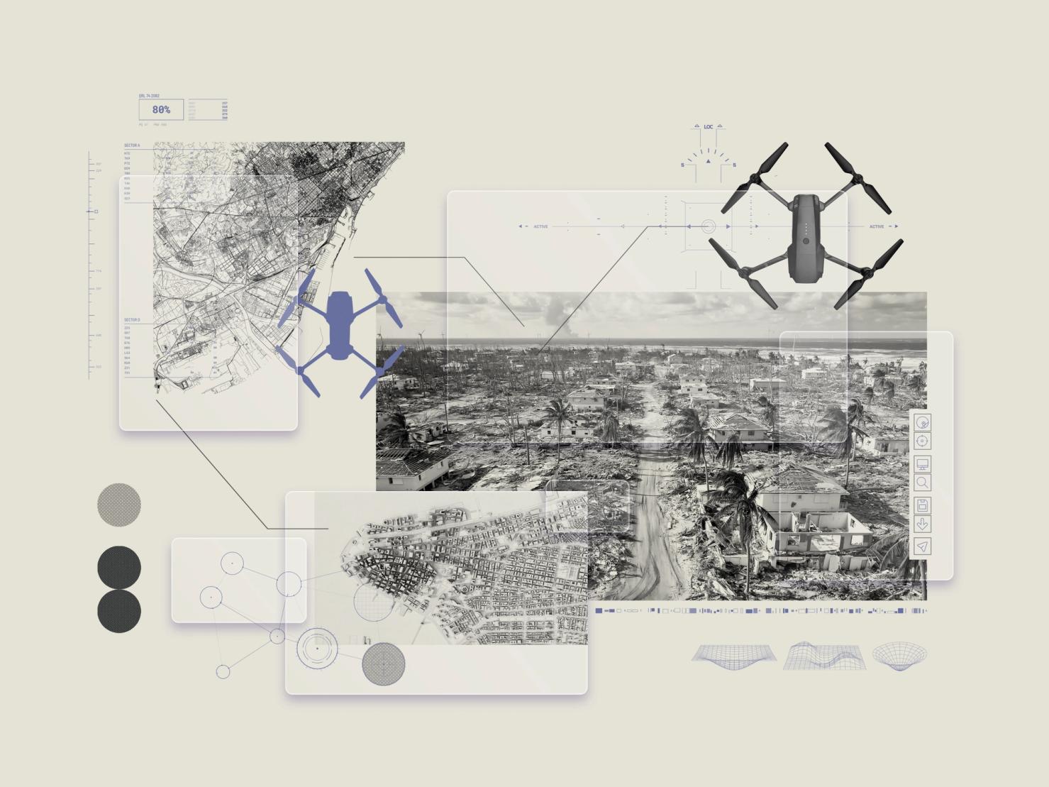
Artificial intelligence is emerging as a powerful tool for emergency responders, allowing authorities to assess damage from hurricanes, earthquakes and other natural disasters in minutes rather than hours or days. Researchers at Texas A&M University have developed CLARKE, an AI-powered system that analyzes drone imagery without requiring an internet connection, identifying damaged buildings, blocked roads and critical infrastructure failures. The technology can assess approximately 2,000 homes in seven minutes and potentially accelerate emergency decisions by nearly 24 hours. Already deployed following major hurricanes, the system represents a significant advancement in disaster preparedness, offering local and state governments an opportunity to improve emergency operations, direct resources more efficiently and protect lives without waiting for traditional damage assessments.
Key Takeaways
• Faster Emergency Response: CLARKE processes drone imagery offline, assessing approximately 2,000 homes in seven minutes and potentially giving emergency managers actionable information a day earlier.
• Proven Field Applications: Emergency teams used the technology following hurricanes Debby and Helene in 2024, and Florida’s disaster drone team has incorporated the system into its standard operating procedures.
• Improved Government Efficiency: AI-powered disaster mapping helps authorities prioritize rescue operations, identify damaged infrastructure and deploy limited emergency resources more effectively, potentially reducing delays and recovery costs.
In-Depth
Artificial intelligence is transforming disaster response by giving emergency personnel faster access to critical information about damaged communities, blocked transportation routes and threatened infrastructure. A system developed at Texas A&M University demonstrates how technological innovation can strengthen emergency preparedness while helping state and local governments make better use of limited resources.
Known as CLARKE, the technology combines drone photography with artificial intelligence to evaluate disaster damage without depending on internet connectivity. That capability is particularly important following hurricanes, when damaged communications infrastructure frequently prevents emergency teams from transmitting large image files or accessing remote computer systems.
Researchers report that CLARKE can evaluate approximately 2,000 homes in seven minutes, generating compact assessments that emergency managers can use to identify the hardest-hit neighborhoods. The system could accelerate operational decisions by roughly 24 hours, potentially allowing rescue teams to reach vulnerable residents sooner.
The technology has already demonstrated practical applications. Emergency responders employed CLARKE following hurricanes Debby and Helene in 2024, and Florida’s disaster drone team, FL-UAS1, subsequently incorporated the system into its standard operating procedures. Researchers have trained 125 emergency responders to operate the technology.
Similar advances are occurring internationally. Microsoft‘s HASTE platform analyzes satellite imagery to identify damaged structures and prioritize assistance. Its applications have included earthquake response and wildfire damage assessments, illustrating how artificial intelligence can support both immediate rescue operations and longer-term recovery planning.
For taxpayers and emergency management agencies, the implications extend beyond technological convenience. Faster assessments can help officials allocate equipment, personnel and financial resources according to documented needs rather than preliminary estimates.
Nevertheless, automated findings require appropriate human verification, particularly when decisions involve public safety. Artificial intelligence cannot replace experienced emergency personnel, but it can provide them with information that previously took substantially longer to obtain.
As natural disasters continue challenging communities, these developments offer governments an opportunity to strengthen preparedness, improve accountability and deliver more effective emergency services without automatically expanding bureaucratic operations.
Sources
• https://www.esri.com/arcgis-blog/products/arcgis-pro/geoai/turning-imagery-into-action-with-geoai