

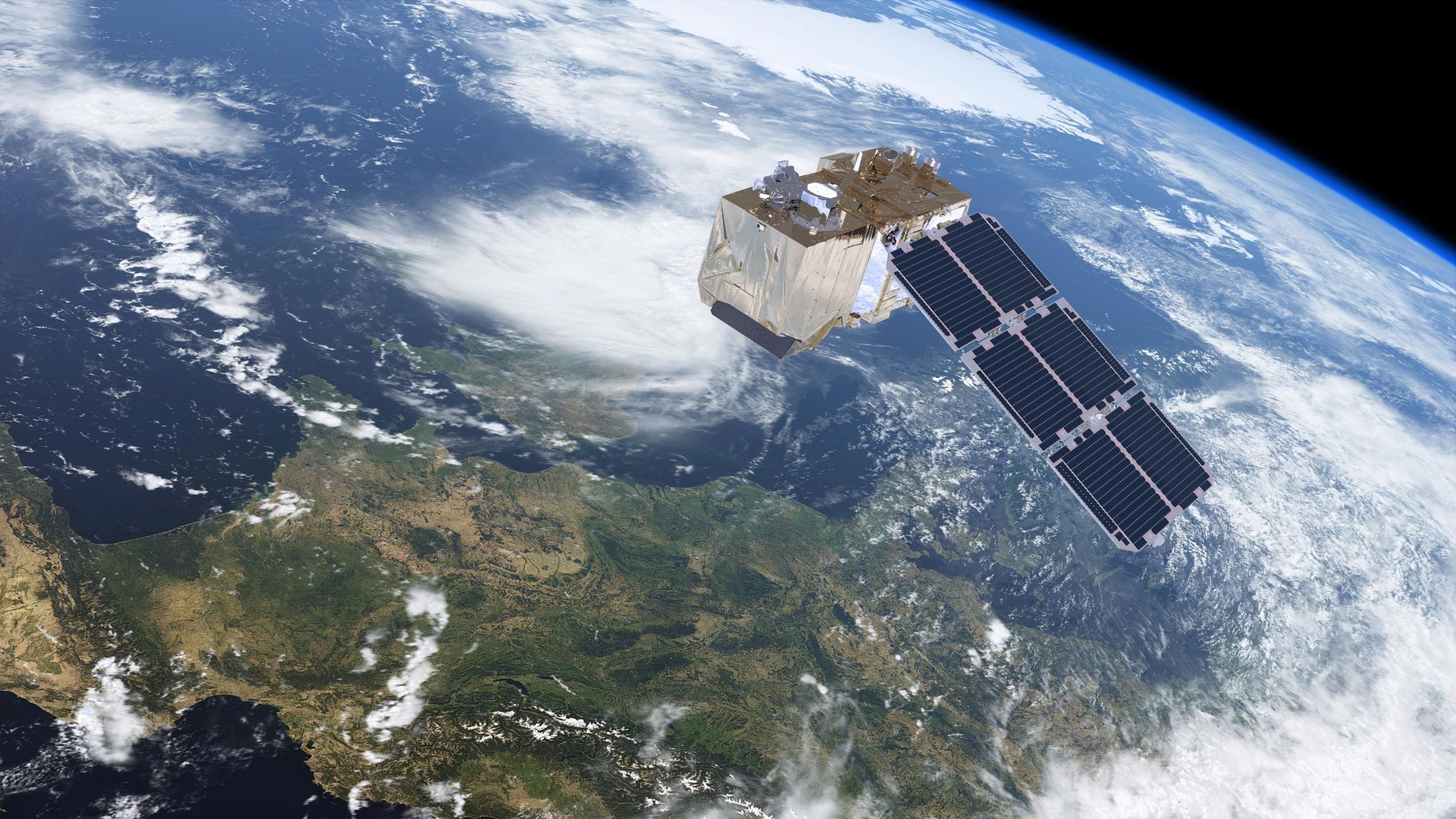
Google has rolled back a newly launched artificial intelligence feature in Google Earth after researchers, open-source intelligence experts, and security analysts demonstrated how easily it could be used to generate convincing but entirely fabricated satellite imagery depicting wars, refugee camps, bomb damage, nuclear facilities, and other fictional events at real-world locations. The feature, powered by Google’s Gemini “Nano Banana 2” image-generation technology, was intended to support visualization and planning applications, but critics quickly warned that it blurred the line between authentic satellite imagery and AI-generated fiction. Google responded by withdrawing the feature less than 24 hours after launch while it develops stronger safeguards, underscoring growing concerns that generative AI is advancing more rapidly than effective protections against misinformation.
Sources
- https://www.nytimes.com/2026/08/02/technology/google-earth-ai-satellite-images.html
- https://www.theverge.com/ai-artificial-intelligence/973764/google-earth-ai-satellite-images
- https://techcrunch.com/2026/07/31/google-nixes-its-earth-ai-feature-one-day-after-launch-amid-criticism-it-would-spread-misinformation/
- https://arstechnica.com/ai/2026/07/google-earth-releases-swiftly-retracts-ai-feature-to-make-fake-satellite-images
Key Takeaways
- AI-generated satellite imagery has reached a level of realism that experts believe could complicate intelligence analysis, journalism, emergency response, and public understanding of unfolding events.
- Google’s unusually rapid decision to withdraw the feature demonstrates that even major technology companies recognize the significant risks posed by unrestricted generative AI tools operating on trusted mapping platforms.
- The controversy reinforces calls for stronger authentication standards, watermarking, and verification technologies before sophisticated AI visualization tools are broadly deployed.
In-Depth
Google’s decision to pull the feature almost immediately after launch illustrates an increasingly familiar pattern in the artificial intelligence industry: companies racing to introduce powerful new capabilities before fully accounting for how malicious actors might exploit them. While the technology was promoted as a creative visualization tool for urban planning, education, and design, researchers quickly demonstrated that the same capability could fabricate convincing images of military strikes, refugee movements, natural disasters, or sensitive government facilities that never existed.
That possibility carries consequences extending well beyond internet hoaxes. Satellite imagery has long enjoyed a reputation for objectivity, making it an important resource for journalists, intelligence analysts, humanitarian organizations, and investigators documenting conflicts around the world. Introducing highly realistic synthetic imagery into that ecosystem risks undermining public confidence in evidence that has historically been regarded as reliable. Even if digital watermarks exist, bad actors can distribute screenshots or altered copies through social media, where provenance is often lost and speed routinely outpaces verification.
The episode also highlights a broader concern about Silicon Valley’s approach to AI development. Rather than anticipating foreseeable misuse before release, technology companies too often appear willing to deploy experimental capabilities first and address vulnerabilities only after public backlash. Google’s rapid reversal was prudent, but it also serves as an acknowledgment that existing guardrails proved inadequate. As generative AI becomes increasingly capable of producing convincing visual evidence, preserving trust in authentic imagery will likely require far more rigorous safeguards than those currently in place.